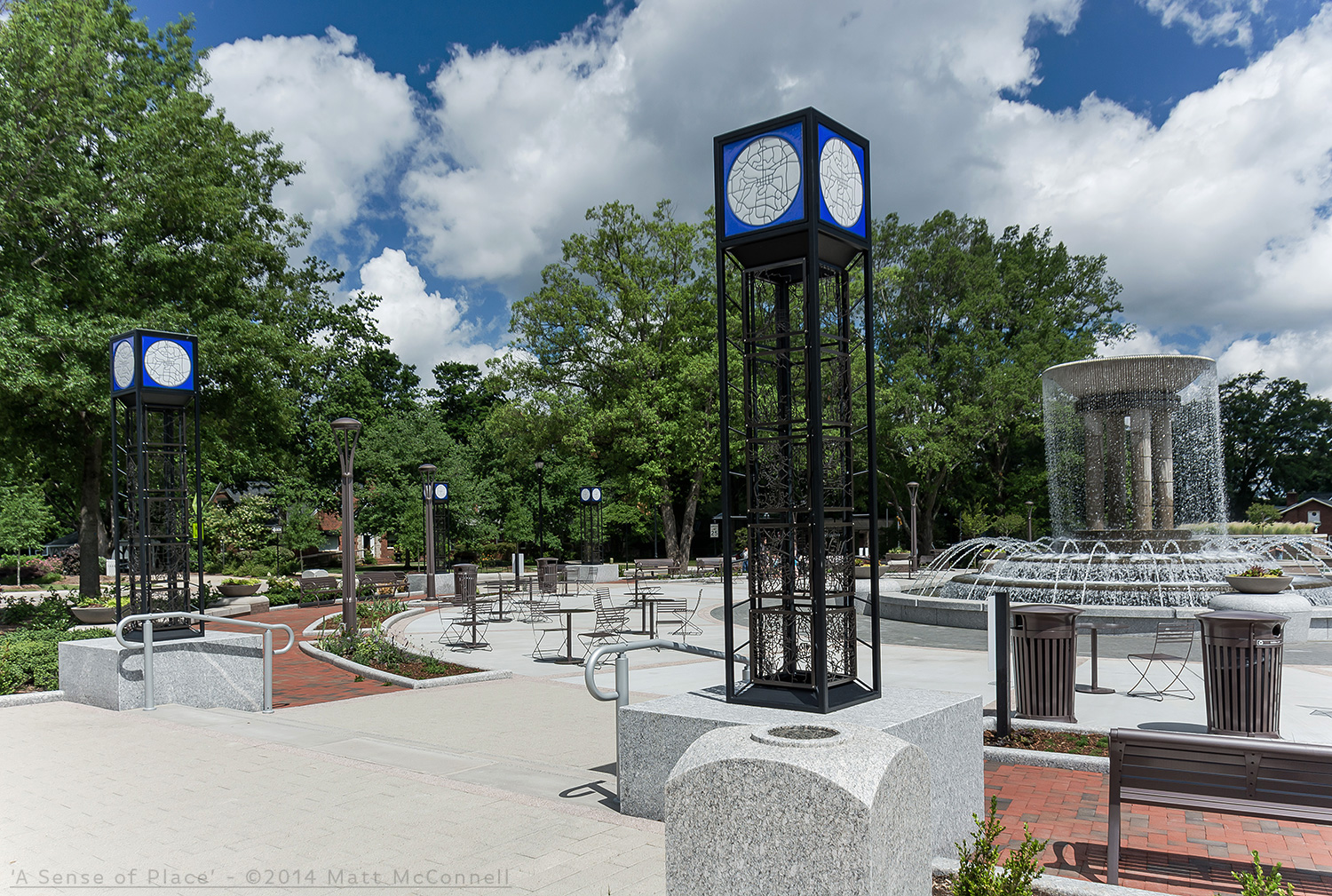
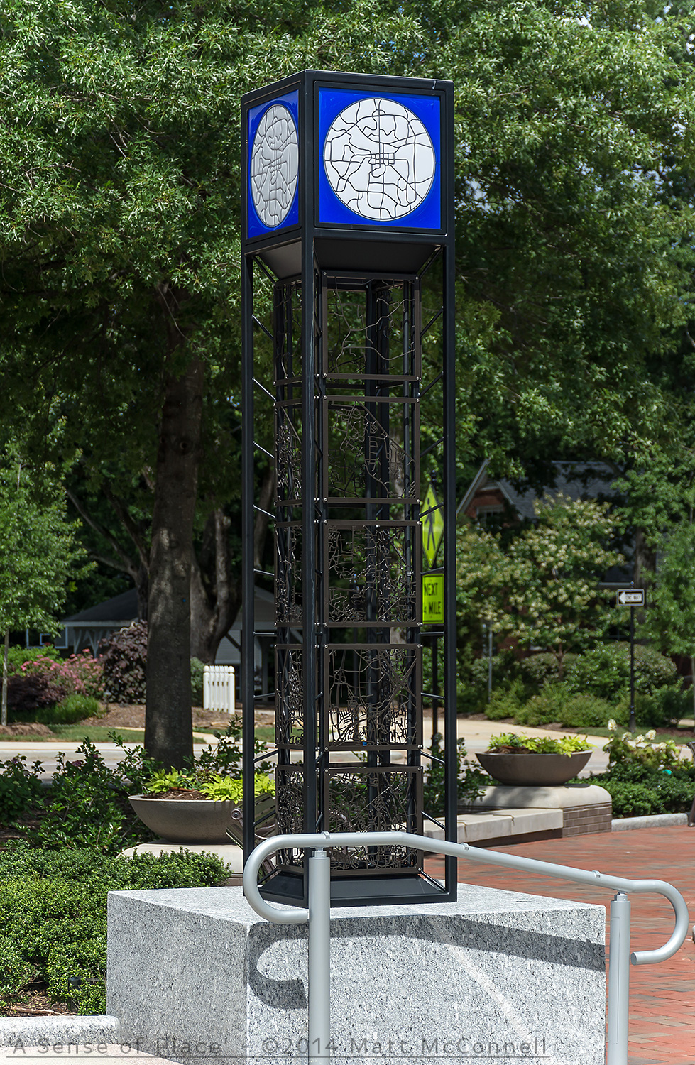
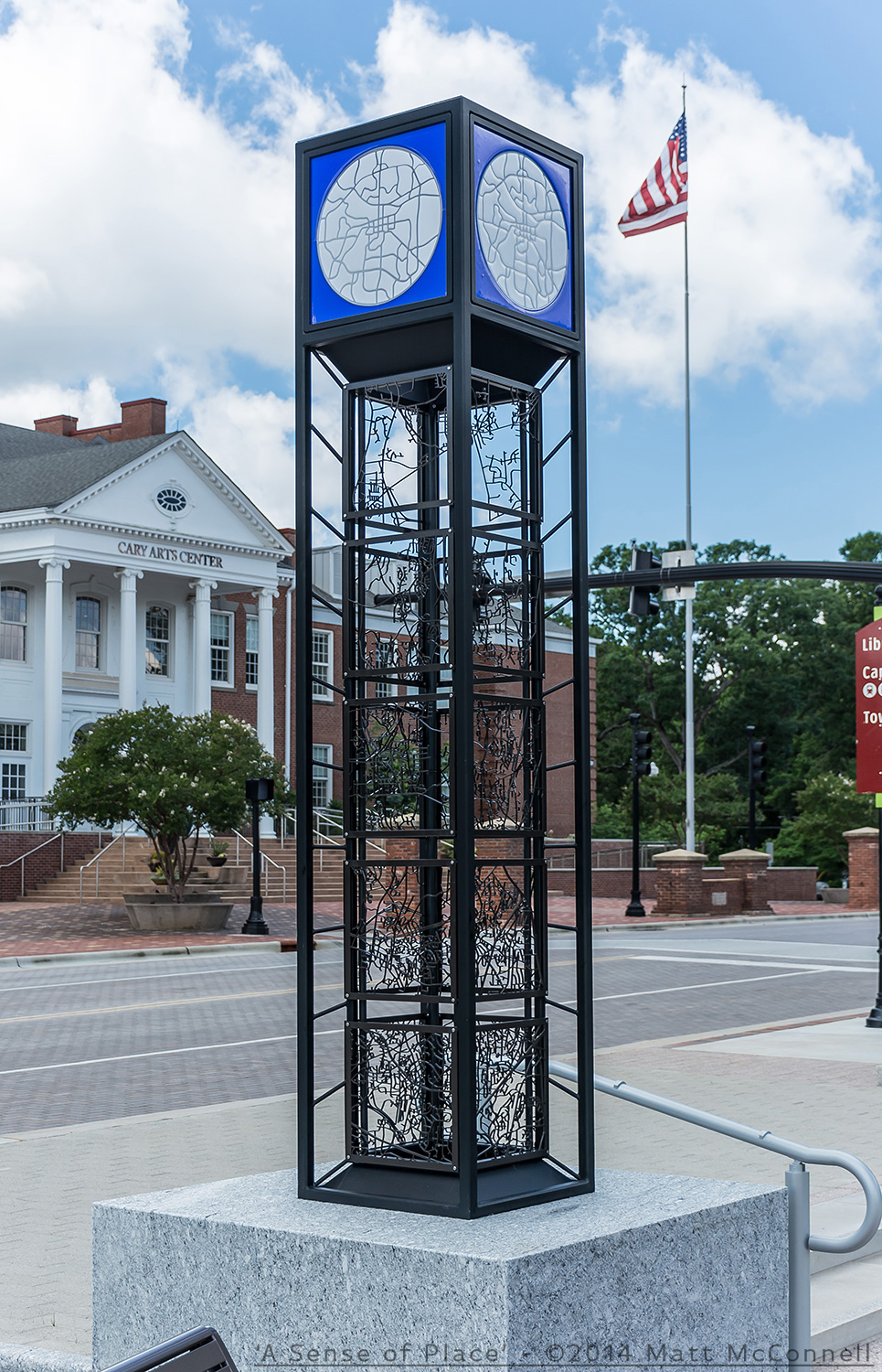
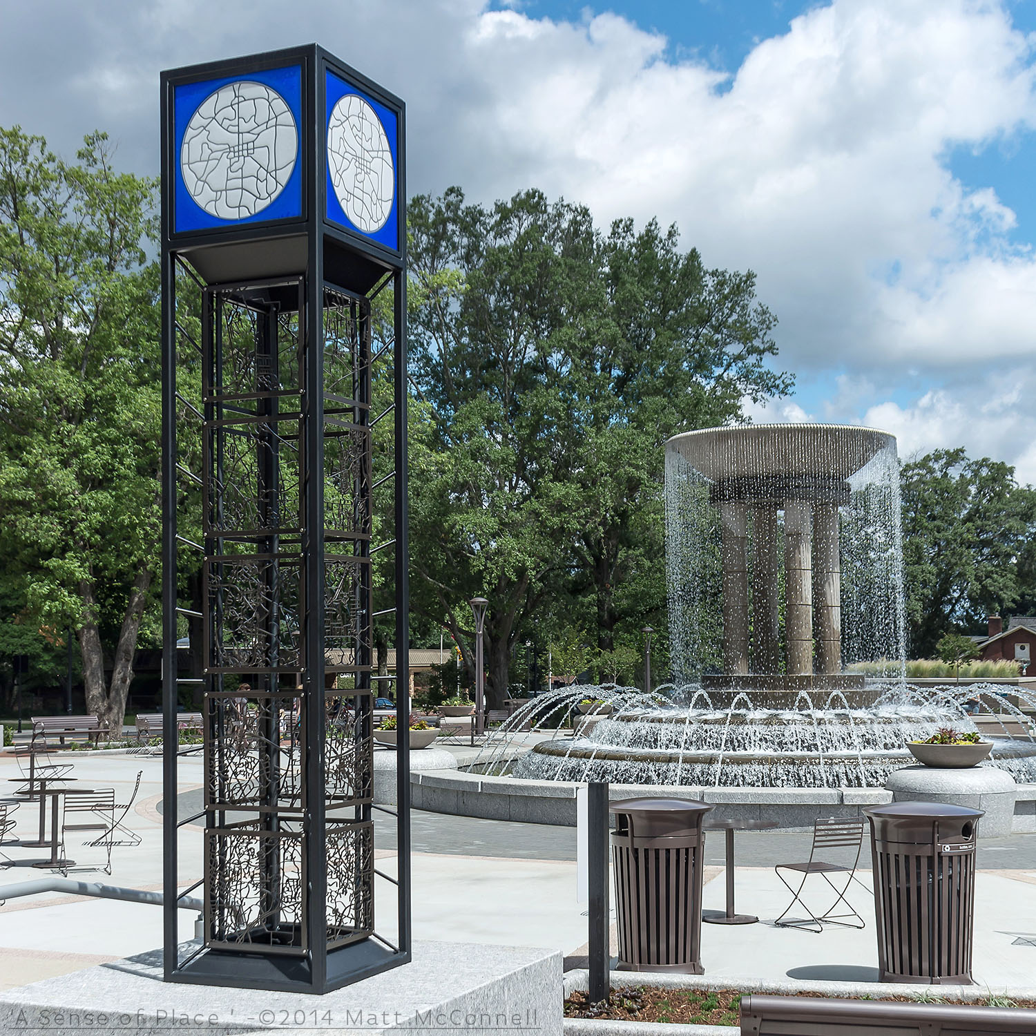
'A Sense of Place' - Public Art - Four columns - 10' x 2' x 2' - Steel, Fused glass, lighting - Downtown Park, Cary, NC
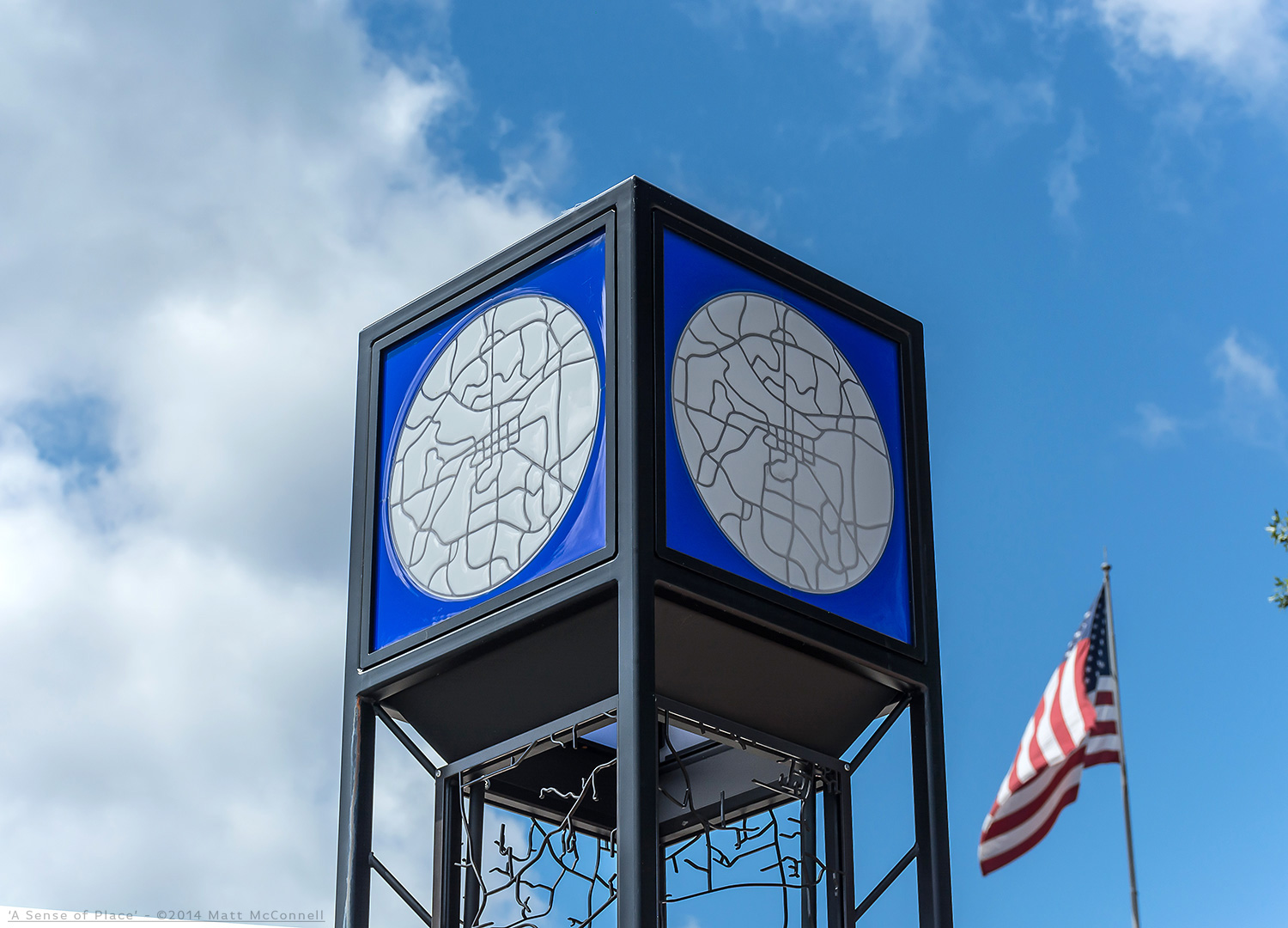
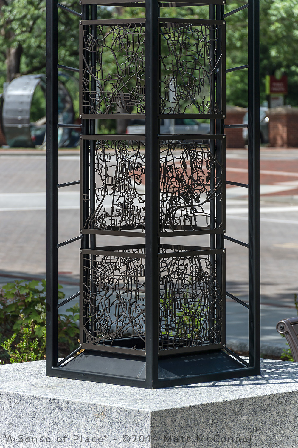
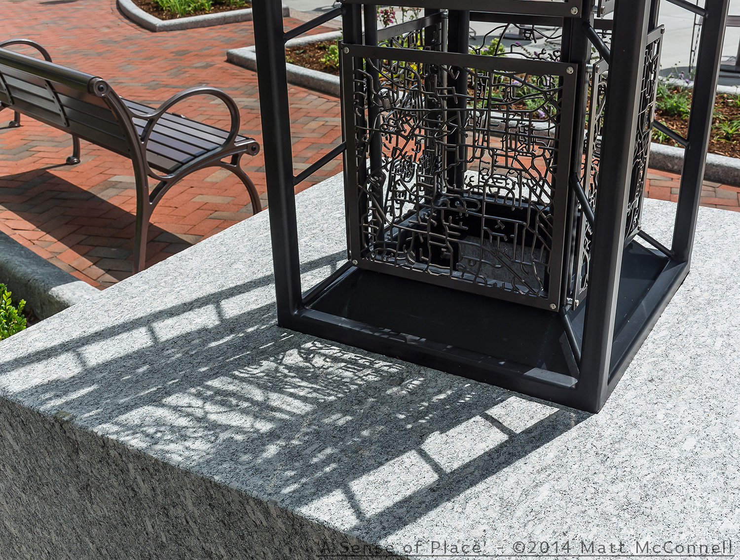
Each column holds 20 of 80 total maps showing the entire Town of Cary, topped with lit glass maps of the main Maynard loop. Citizens visiting the park can find the street they live on by exploring the 80 panels, or by linking to the towns website to locate the panel their street is on quickly.
Designed to reflect on how maps show the history of a town, and how we remember home by the streets around us
Installation video shown below image gallery
Installation Video

